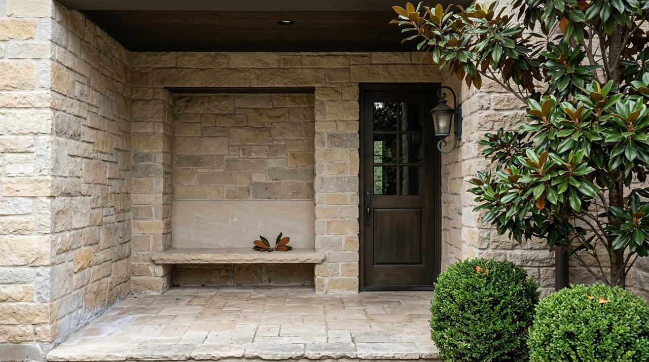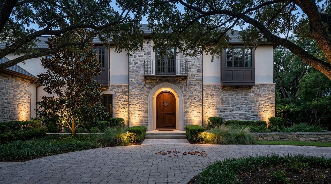
Picture two listings, same asking price, same school zoning search filter, same "The Woodlands, TX" in the address line. Run the numbers on each and the effective property tax rate could land anywhere between roughly 2.01% and 2.59% of assessed value as of this spring, depending on which side of an invisible line the house happens to sit. On a $500,000 home, that spread is the difference between a tax bill near $10,050 and one closer to $12,950. Same price. Same neighborhood, in the way most buyers use that word. Almost $2,900 apart, every year, for as long as you own the house.
That gap does not show up on a listing photo. It does not show up in most portal search filters either, because those tools tend to apply a blended or average rate rather than pulling the actual rate for a specific parcel. The number that actually governs your carrying cost is set somewhere else entirely: by a municipal utility district board, a school district boundary, or in one notable case, a village that opted out of the whole system and pays for something completely different instead.
The Woodlands is not one tax jurisdiction. It is about a dozen of them, stacked.
The Woodlands is not an incorporated city, so there is no city tax to anchor things. Instead, every property sits inside an overlapping stack of taxing entities: Montgomery County, a school district (Conroe ISD for most of the community), a municipal utility district, and in some areas an emergency services district on top of that. The Woodlands Water Agency, which oversees ten Montgomery County MUDs across the community, is explicit that MUD tax rates vary by district because each district manages its own infrastructure age and debt load. A district with older, paid-down bonds can run a noticeably lower rate than a newer one still financing its water and sewer buildout.
The Woodlands Township adds its own layer on top, but this one is comparatively small and community-wide. For fiscal year 2026, the Township's board adopted an ad valorem rate of $0.1714 per $100 of valuation, split between a maintenance and operations rate of $0.1612 and a debt service rate of $0.0102. That is not the piece driving the spread between villages. The MUD line is.
The village that plays by completely different rules
If you want the sharpest example of how differently these lines can cut, look at Grogan's Forest. According to the community's own published tax comparison documents, this particular section pays no MUD tax and no Township tax at all. Instead, it pays Shenandoah city tax. That is the opposite cost structure from almost everywhere else in the community. A buyer comparing a Grogan's Forest listing against one in, say, Alden Bridge or Sterling Ridge is not comparing two flavors of the same tax bill. They are comparing two entirely different funding models, one built on utility district and township levies, the other built on a city's own municipal tax roll.
The county line hiding inside "The Woodlands"
A second boundary matters just as much and gets even less attention: the county line. Most of The Woodlands sits in Montgomery County and feeds into Conroe ISD. Creekside Park, the community's westernmost and most recently developed village, sits in Harris County and is zoned entirely to Tomball ISD instead. That is not a cosmetic difference. It means a different appraisal district handling your protests and exemptions, a different school system with its own bond program and rating history, and a different set of special district rates layered underneath.
There is a third wrinkle tucked inside Sterling Ridge. A small western portion of that village, the May Valley area, falls under Magnolia ISD rather than Conroe ISD. So a buyer who assumes "Sterling Ridge" means one tax and school picture could be looking at two different ones depending on which side of the village the house sits on.
None of this is disclosed by a portal's neighborhood boundary lines. It is disclosed by the address, and specifically by which taxing entities appear on that address's actual bill.
Who actually sets these rates, and why it can move
Here is the part that turns this from a static fact into something worth watching if you are comparing villages rather than just one house. MUD boards are elected, and Texas law caps how fast they can raise rates on their own authority. A district cannot raise its tax rate by more than 3.5% in a given year without triggering a voter-approval election. That cap protects against sudden shocks, but it also means rates drift over time as boards manage debt service and operating costs, and those decisions are made by people running for nonpartisan seats that most residents never think about until a specific rate change lands on their bill.
May 2026 turned out to be an unusually active cycle for exactly that reason. The Woodlands Water Agency's own election coverage listed 22 contested board positions spread across The Woodlands MUD No. 1 and Montgomery County MUD Nos. 6, 7, 36, 39, 46, 47, 60, and 67, and local reporting from Community Impact described it as the first time every MUD position in the community had been contested in the same election cycle since the districts began forming in 1976. That level of contested interest is itself a signal. Boards that oversee aging infrastructure, drainage capacity, and multi-year capital plans are drawing more scrutiny than they used to, and the outcomes of these races shape the rate line on your future tax bill just as much as the county appraisal does.
What's coming next, and why it belongs in your comparison
The infrastructure question is not abstract. The San Jacinto River Authority, which coordinates water infrastructure planning with the Woodlands Water Agency, had floated an initial ten-year projection of roughly $729 million for its 2026 to 2035 capital plan covering The Woodlands division. That figure was already being revised downward as of this spring, after community feedback and a waterline assessment study prompted officials to reconsider several projects and push some work into later years of the plan. The agency's general manager has said the approach going forward leans away from financing large projects through new bonds, which means residents could see the cost show up gradually through water and sewer rates rather than through a sudden MUD tax spike.
That distinction matters for anyone comparing an older village against a newer one. A mature MUD with paid-down debt has historically kept rates in the $0.07 to $0.17 per $100 range, and nine of the ten residential MUDs in the community actually lowered their rates in 2025. A newer district still carrying construction bonds starts from a higher baseline and has more room to move before it hits the 3.5% annual cap. Neither situation is better or worse on its own. It is simply a different risk profile, and it is one you can ask about directly rather than guess at from a listing price.
How to actually compare two houses
The fix is not complicated, it just requires asking a different question than "what's the tax rate." Before you treat two Woodlands listings as apples to apples, find out:
- Which specific MUD number serves the address, and how that district's rate has moved over the last five years
- Whether the property sits in Montgomery County or Harris County, and which school district and appraisal district that implies
- Whether the village has any non-standard arrangement, the way Grogan's Forest does, where a city tax replaces the usual MUD and Township charges entirely
- Whether the district has any bond elections or major capital projects on the horizon, since those shape the trajectory of the rate, not just its current level
A title company or your agent can pull the specific MUD and confirm the current combined rate for an address before you go under contract, which is a far more reliable number than anything a portal's neighborhood-level estimate will show you.
A few common questions
Does a higher MUD rate mean worse infrastructure? Not necessarily. Newer districts often carry higher rates because they are still repaying the bonds that built the water, sewer, and drainage systems in the first place. Older districts trend lower simply because those bonds are further along toward being paid off.
Can I look up which MUD serves a specific address before I make an offer? Yes. The Woodlands Water Agency oversees the ten Montgomery County districts and can confirm which one serves a given address, along with its current rate and tax office contact information.
Is the Township tax the same everywhere in the community? The Township's own ad valorem rate is set community-wide and applies broadly, but it is a small piece of the total bill. The bigger swings come from the MUD, county, and school district layers underneath it, which do vary by address.
If you are comparing villages inside The Woodlands and want the actual tax picture for a specific address before you write an offer, The Merlo Team can walk you through it, village by village, in English or Spanish. Reach out for an Instant Home Valuation and a side by side comparison built around your address, not a community average.